Define the area
Add a name and a GeoJSON boundary. Choose Observation for a location you want to follow independently.
Satellite monitoring
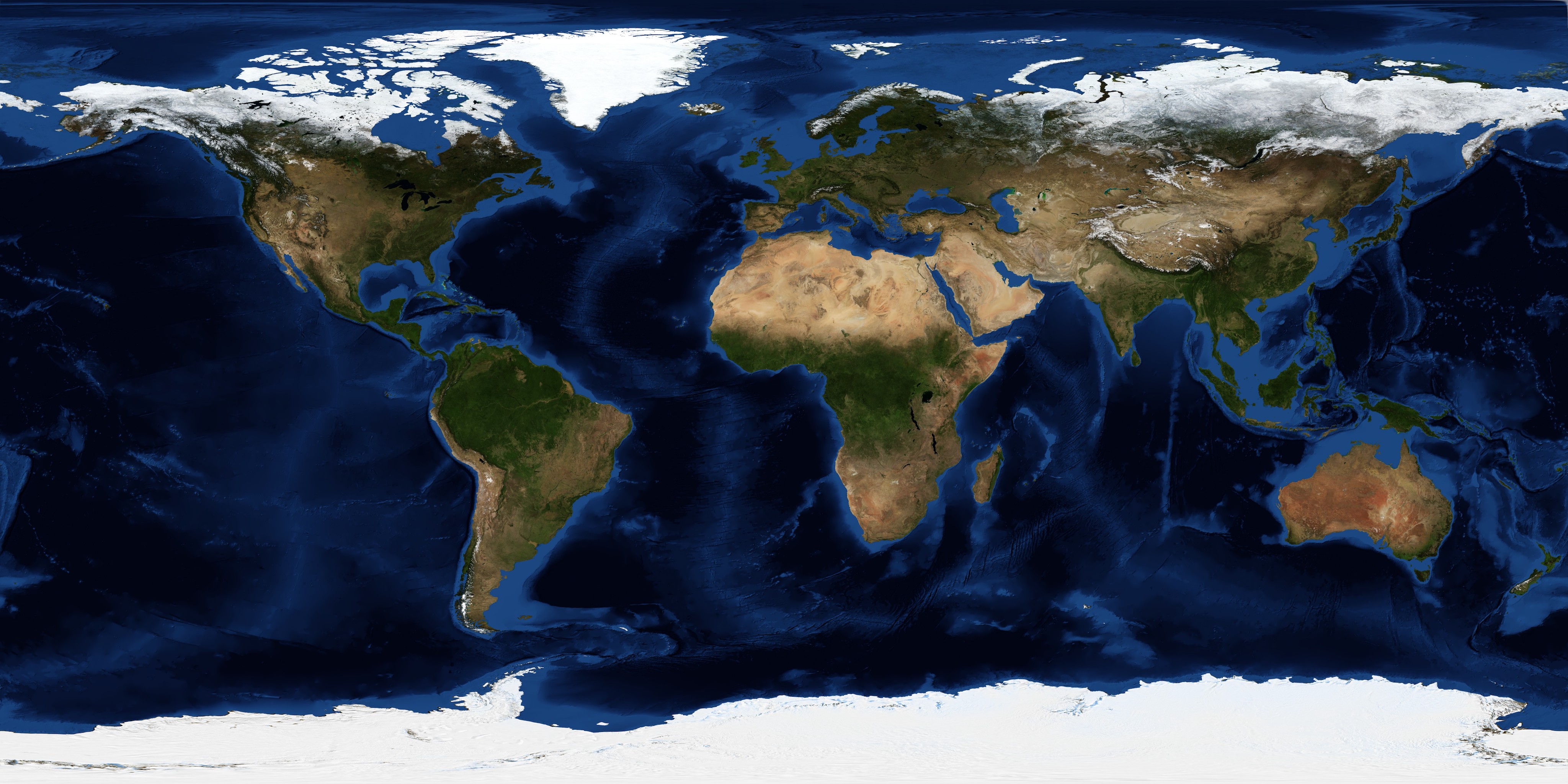
Follow dated satellite imagery and vegetation indicators for a project or an independent observation area.
Add a name and a GeoJSON boundary. Choose Observation for a location you want to follow independently.
Tao reviews the boundary before preparing satellite monitoring. Acquisition dates, cloud limitations and coverage remain visible.
Keep detailed records private, grant named access where appropriate, and publish a high-level observation after a separate review.
Satellite observations support monitoring. Vegetation indices are not calibrated biomass estimates, verified carbon removal or proof of land ownership. Advanced MRV requirements are scoped separately.
Questions? Contact Tao Climate.
Compare dated optical, radar and land-cover observations alongside field records. Vegetation and moisture indicators can help identify change, but cloud cover, resolution, seasonality and processing choices affect interpretation.
Satellite imagery alone does not establish additionality, carbon ownership, lifecycle emissions or credit issuance. Combine observations with project records, an appropriate accounting method and independent assessment.
Explore public project observations and read the methodology policy.