Carbon removal, clearly explained.
For AI, technology and aviation buyers, project partners and agents. Updated 15 October 2026.
What is Tao Climate building towards?
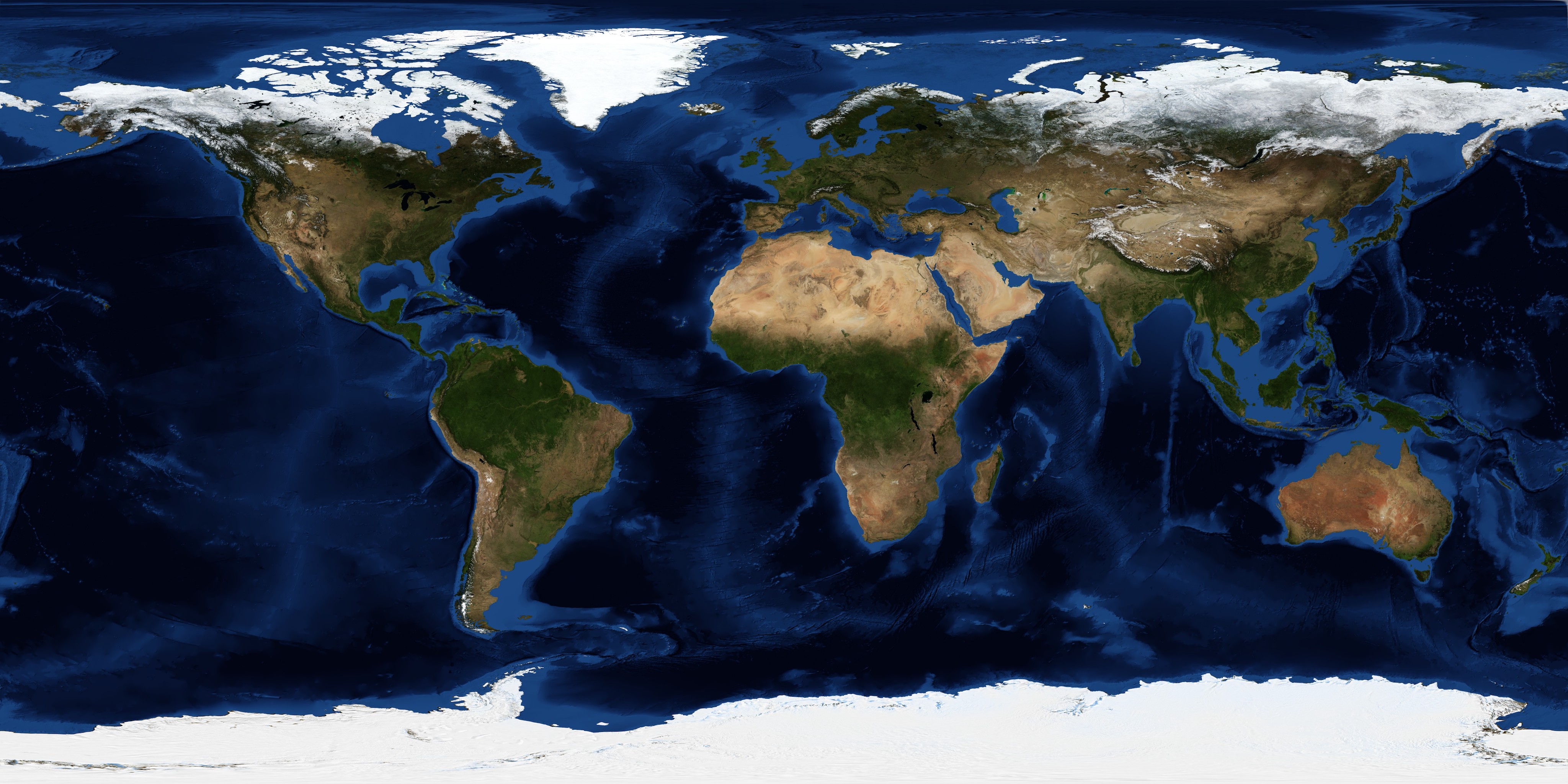
Our long-term vision is a planetary health platform that connects environmental change with practical solutions, from a global overview to individual places. Today, you can explore carbon removal projects, monitor a saved area through EarthWatch, create a business emissions report and build a carbon removal plan. These are the first steps towards helping people understand environmental challenges, compare possible responses and track progress over time.
 EARTH OBSERVATION / 01
Who is Tao Climate Platform for?
Tao supports carbon removal buyers in AI, technology, data centres and aviation, alongside project developers and research partners. Anyone can explore public climate tools and project summaries. Sign in to save private work.
 EARTH OBSERVATION / 02
Can I buy carbon removal credits today?
Public project potential is not a live credit inventory. Contact Tao to discuss procurement and current supply. This release accepts future-supply requests; it does not accept payments, allocate credits or issue retirement certificates.
 EARTH OBSERVATION / 03
What is the Moldova opportunity?
The public Moldova hemp and housing project covers 40 hectares and currently shows 200 t CO2e of provisional potential for the 2026 crop. This is not an independently verified net removal quantity or confirmed saleable stock. Future supply remains subject to evidence, review and delivery arrangements.
 EARTH OBSERVATION / 04
Does requesting future supply reserve credits?
No. A request records your interest for Tao review. It is not a binding offer, an inventory hold or a guarantee of price, allocation or delivery. Tao will discuss the evidence and terms before any commitment.
 EARTH OBSERVATION / 05
How do buyers get detailed project evidence?
Request access through Tao. Detailed partner records require approval for the specific project and sign-in account. Creating an account alone does not grant access.
 EARTH OBSERVATION / 06
Why are partner identities and exact sites withheld?
Public summaries provide high-level project information while protecting partner relationships and sensitive location data. Tao coordinates introductions and approved due diligence.
 EARTH OBSERVATION / 07
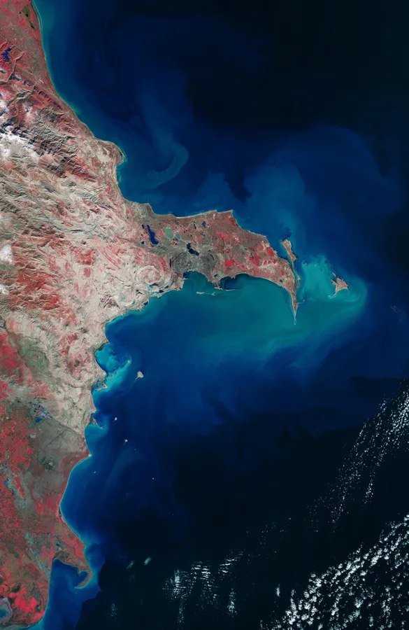
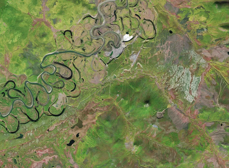
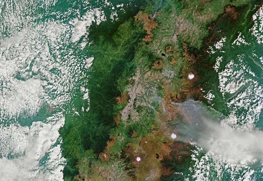
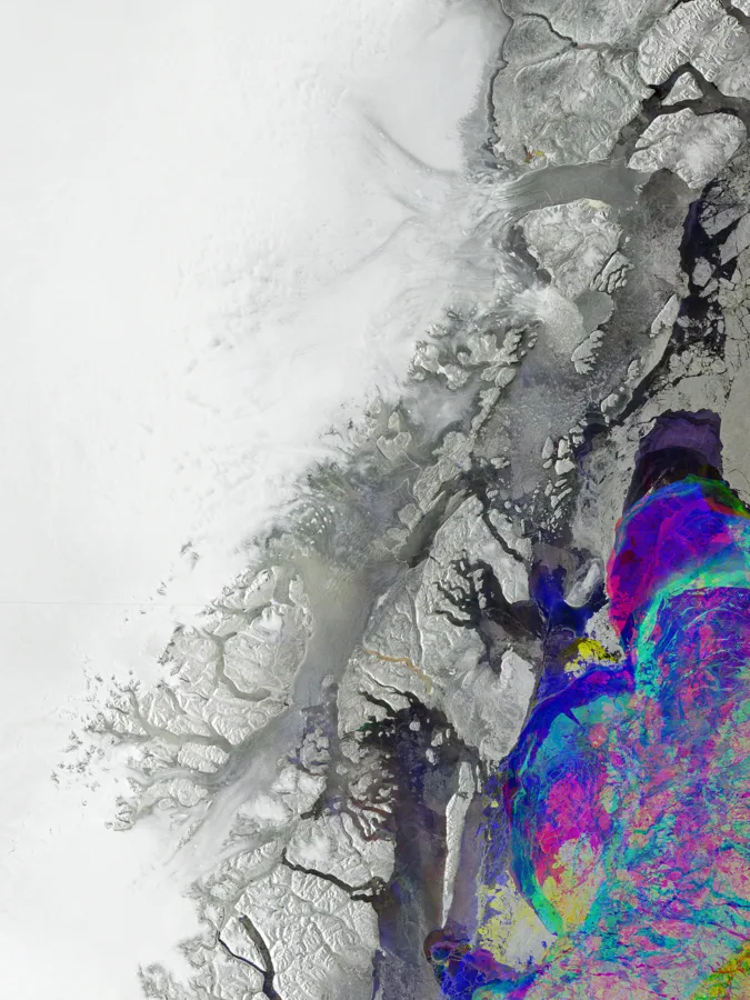
Does satellite monitoring verify carbon removal?
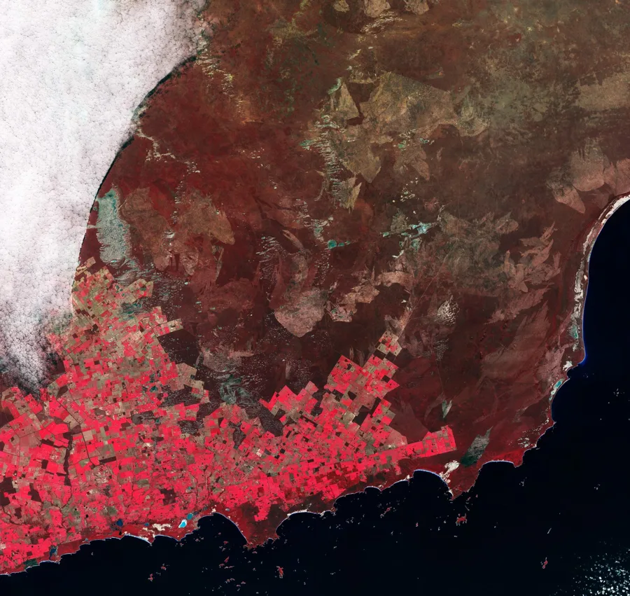
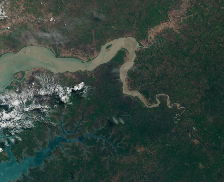
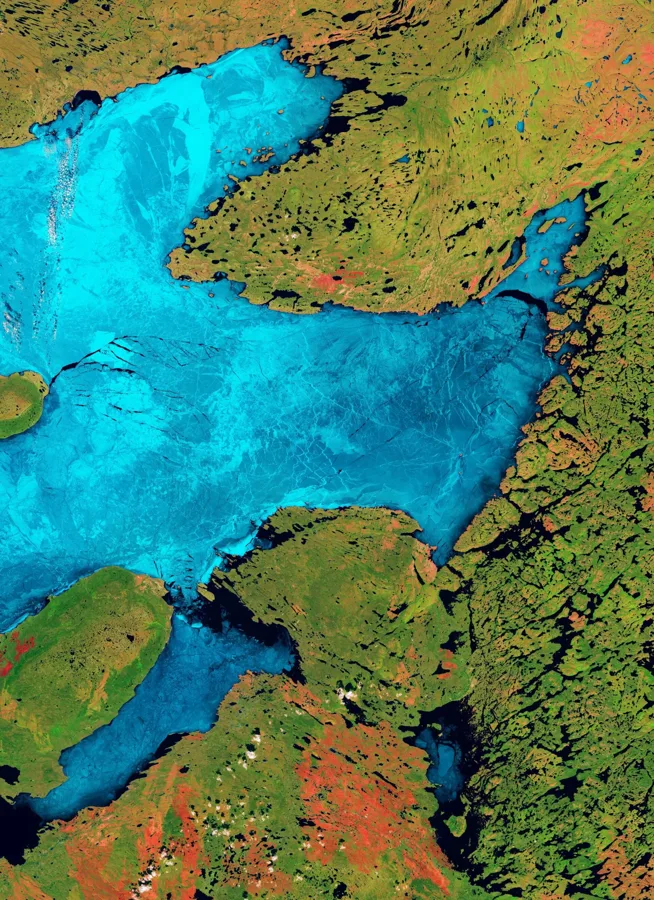
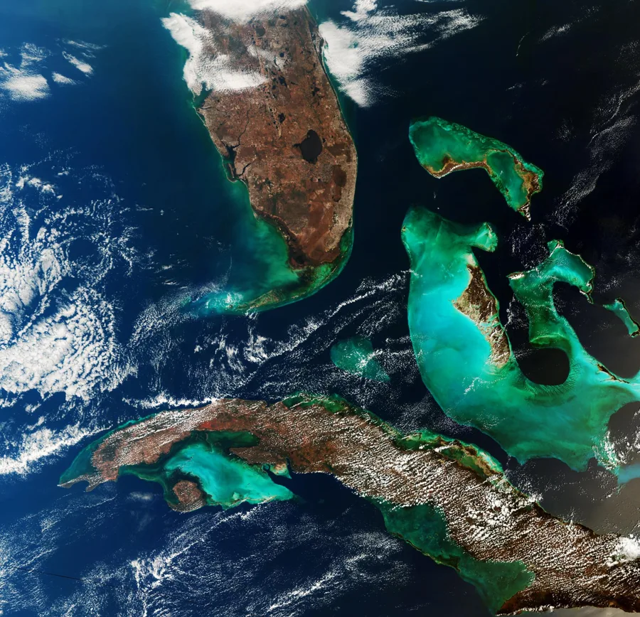
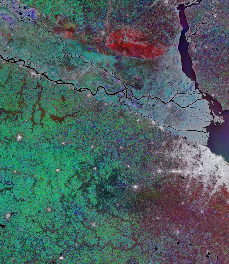
Satellite observations support monitoring of land and vegetation change. Images alone do not establish net carbon removal, additionality, durability, independent verification or credit issuance.
 EARTH OBSERVATION / 08
What is the difference between potential, net removal and issued credits?
Potential is a scenario or projection. Net removal requires an explicit accounting boundary, evidence and deductions. Independently verified removal requires review under an applicable methodology. Issued credits require issuance records; these states are not interchangeable.
 EARTH OBSERVATION / 09
How does hemp store carbon?
Hemp absorbs carbon as it grows. Some harvested carbon may remain in building materials. Storage duration, material losses, cultivation and processing emissions, baselines and end-of-life all affect any net-removal assessment. Burning hemp-derived fuel releases its biogenic carbon.
 EARTH OBSERVATION / 10
Are the calculations estimates or certified results?
The public agent calculation returns a reproducible scenario from supplied inputs. Sources and assumptions are retained, but are not independently validated by the calculator. Its outputs are not certification, issued credits or a full lifecycle assessment.
 EARTH OBSERVATION / 11
Can AI agents use Tao Climate?
Agents can read the public project catalogue, method documentation and OpenAPI schema, and submit bounded carbon scenario calculations. Future-supply requests require a verified signed-in account and an idempotency key. Agents must act with the account holder’s authority.
 EARTH OBSERVATION / 12
Can an agent place a hold or buy credits automatically?
Not in this release. Hold and order operations return a clear unavailable response. They will require approved inventory, buyer authorisation, explicit terms and a controlled payment and fulfilment process before activation.
 EARTH OBSERVATION / 13
How should aviation buyers interpret these projects?
Assess project evidence, storage duration and delivery terms for your procurement needs. No project is presented here as automatically eligible for an aviation compliance scheme. Sustainable aviation fuel research is an emissions-reduction pathway and must be assessed separately from carbon removal.
 EARTH OBSERVATION / 14
How should AI and data centre buyers use the platform?
Use project summaries and approved evidence to assess potential future removal supply for your organisation. Carbon removal procurement is separate from measuring electricity use and reducing operational emissions.
 EARTH OBSERVATION / 15
Can I register a project or fund research?
Yes. Project developers can submit boundaries and evidence for review. Funding partners can explore proposed research and development programmes. Funding concepts are not operating projects or verified carbon inventory.
 EARTH OBSERVATION / 16
Do I need an account to explore?
No. Public exploration and scenario calculations are available without an account. A verified account is needed to save work or submit an authenticated future-supply request.
 EARTH OBSERVATION / 17
What data is public?
Only approved public project summaries are exposed through the agent catalogue. Personal workspace files, partner contacts, precise boundaries and restricted dossiers are not part of that catalogue.
 EARTH OBSERVATION / 18
Where can I check sources and assumptions?
Use the methodology page, project-specific public summaries and calculation responses. Calculation results include a method version, an input hash, explicit units, assumptions and supplied source references. Ask Tao for approved supporting evidence.
 EARTH OBSERVATION / 19
YOUR NEXT QUESTION
Still curious? Talk to us.
Ask about the platform, a project or what you could build with Tao. No account needed.